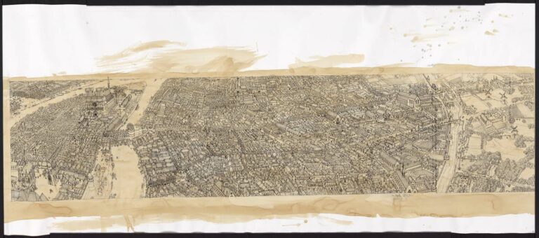
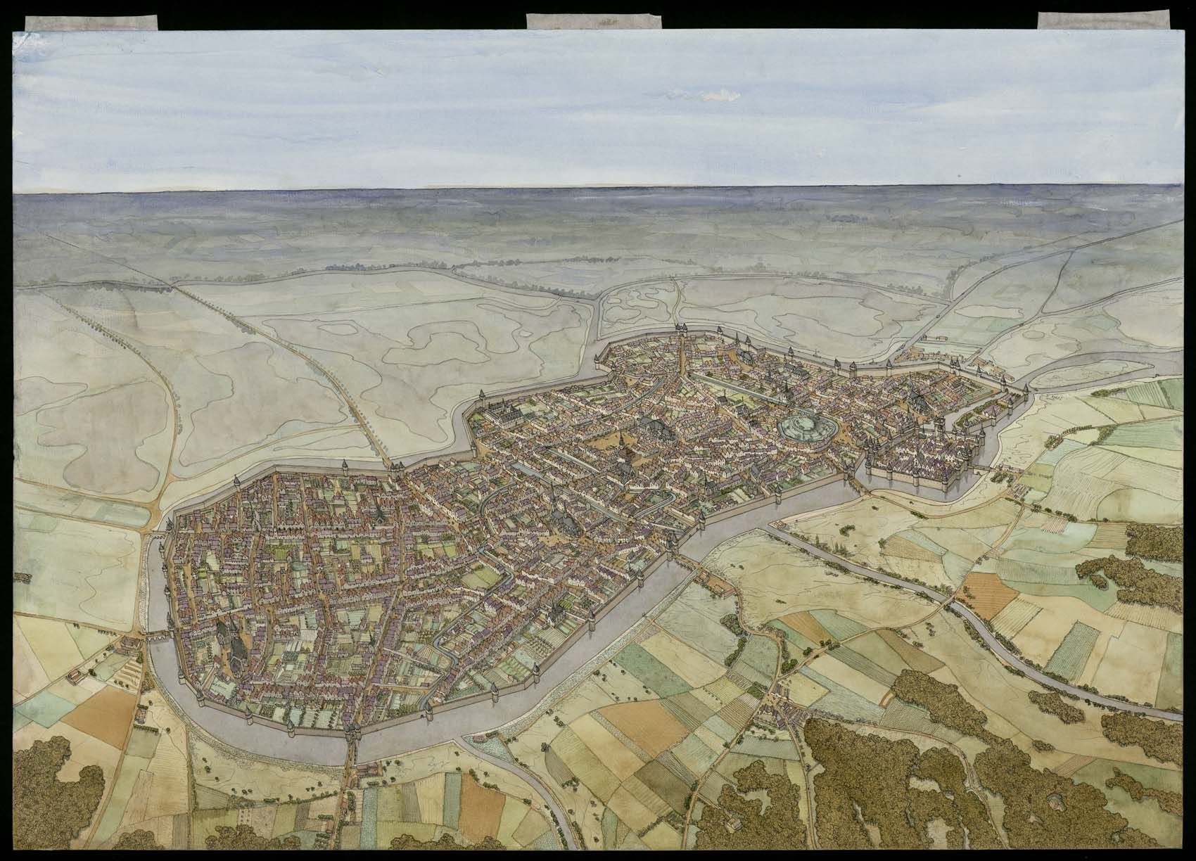
Aerial view of Lille in medieval times. The drawing is in landscape format and has no frame. Inscriptions appear on the reverse.
The city is located on an island formed by the junction of several rivers that flow into the Deûle. Several bridges link the town to the riverbanks. The town is surrounded by a fortified wall punctuated by towers. On the right-hand side of the drawing, a building enclosed by a square wall can be seen in the middle of the water. This is the château de la ville or château Courtrai. Opposite it stands a hill on which the old castle once stood. Several churches can be identified: Saint-Pierre, on the right, Saint-Etienne, in the center of the square, and Saint-Jean, on the left. The Palais de Rihour can also be seen, not far from the square in front of Saint-Etienne church. The surrounding countryside is made up of fields, woods and marshes.