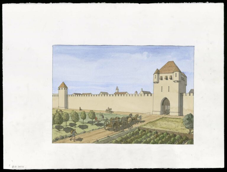
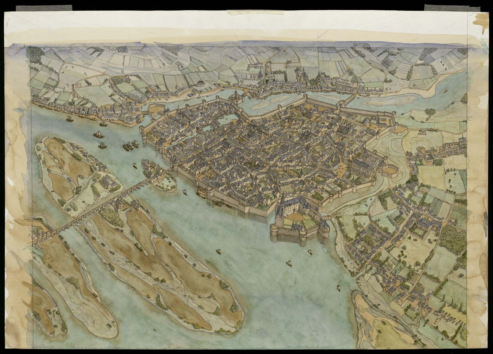
Aerial view of Nantes in medieval times. The drawing is in landscape format. It is organized within a frame drawn in ink. Traces of watercolor are visible in the margins.
Inscriptions appear on the reverse.
The town lies at the confluence of the Loire, visible in the lower part of the drawing, and the Erdre, visible in the upper part. Several stone bridges cross the rivers. The town is protected by a vast fortified wall, punctuated by towers and gates. A number of religious edifices stand among the houses. The Gothic Notre-Dame cathedral can be seen to the right, along the rampart. The castle of the Dukes of Brittany is built on a small island in the lower part of the drawing. Commercial activities develop on the banks of the Erdre. The port and warehouses are visible. Boats are moored at the quays.