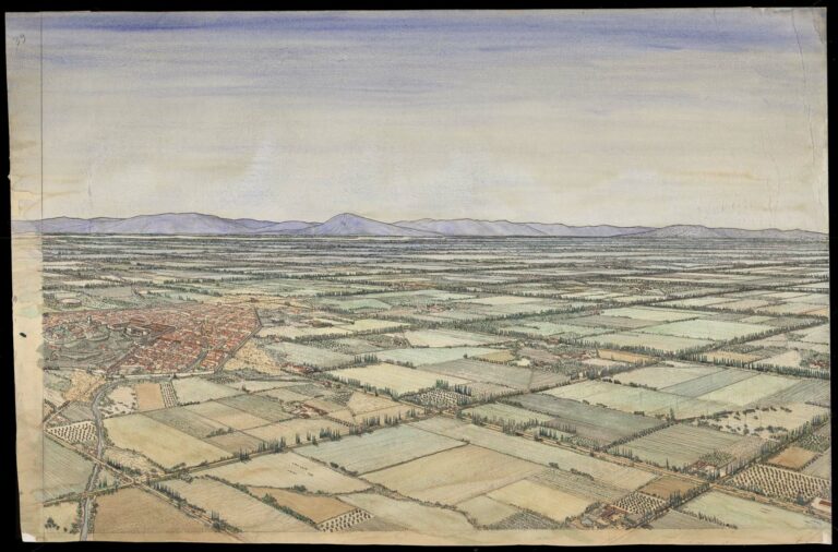
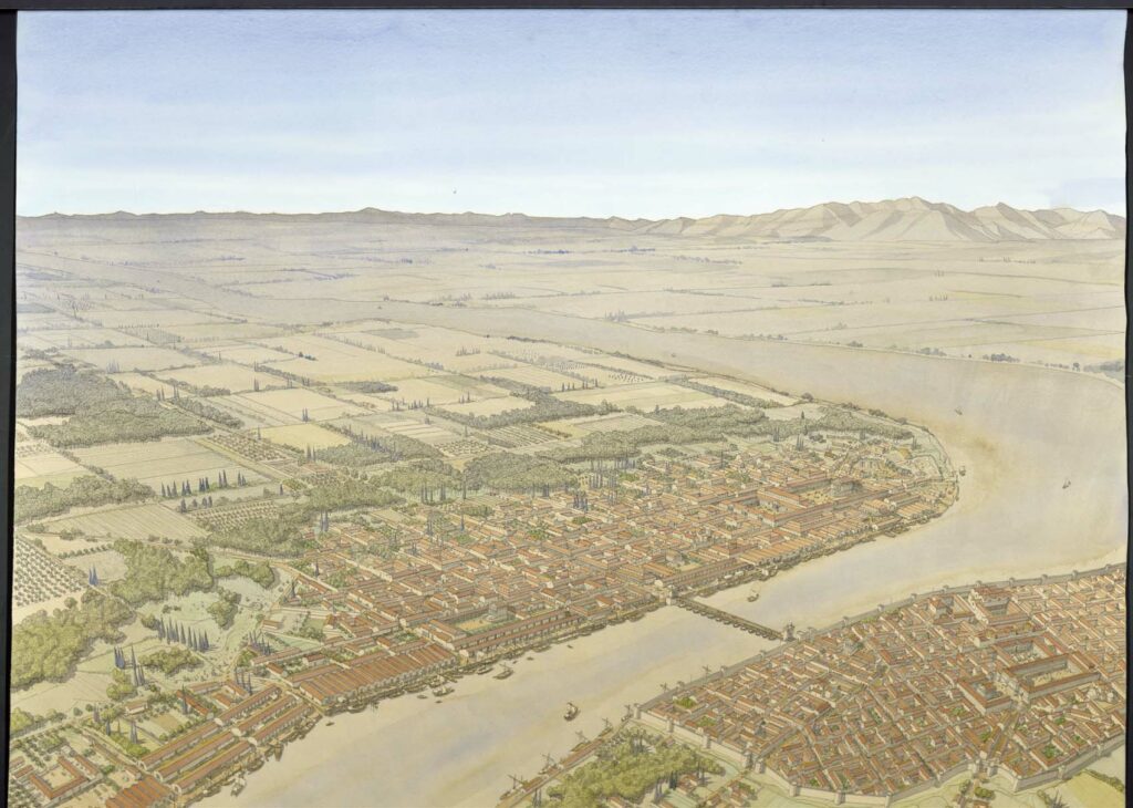
Aerial view of Arelate (Arles) in the 2nd century. The drawing is in landscape format, with only a right-hand margin for inscriptions. Inscriptions appear on the reverse.
The city’s circus is shown in the lower part of the composition, built between the Rhône and a marshy area. The spina stands out clearly against the sandy track. The city of Arelate develops in the right-hand part of the drawing, inside the fortified enclosure. This houses the town’s residential quarters, forum and thermal baths. A boat bridge on the river allows traffic to flow from one bank to the other. The Trinquetaille district, on the right bank at the top of the drawing, consisted mainly of housing upstream and a port area downstream. In the distance, the countryside stretches as far as the Alpilles.


