Views: 14
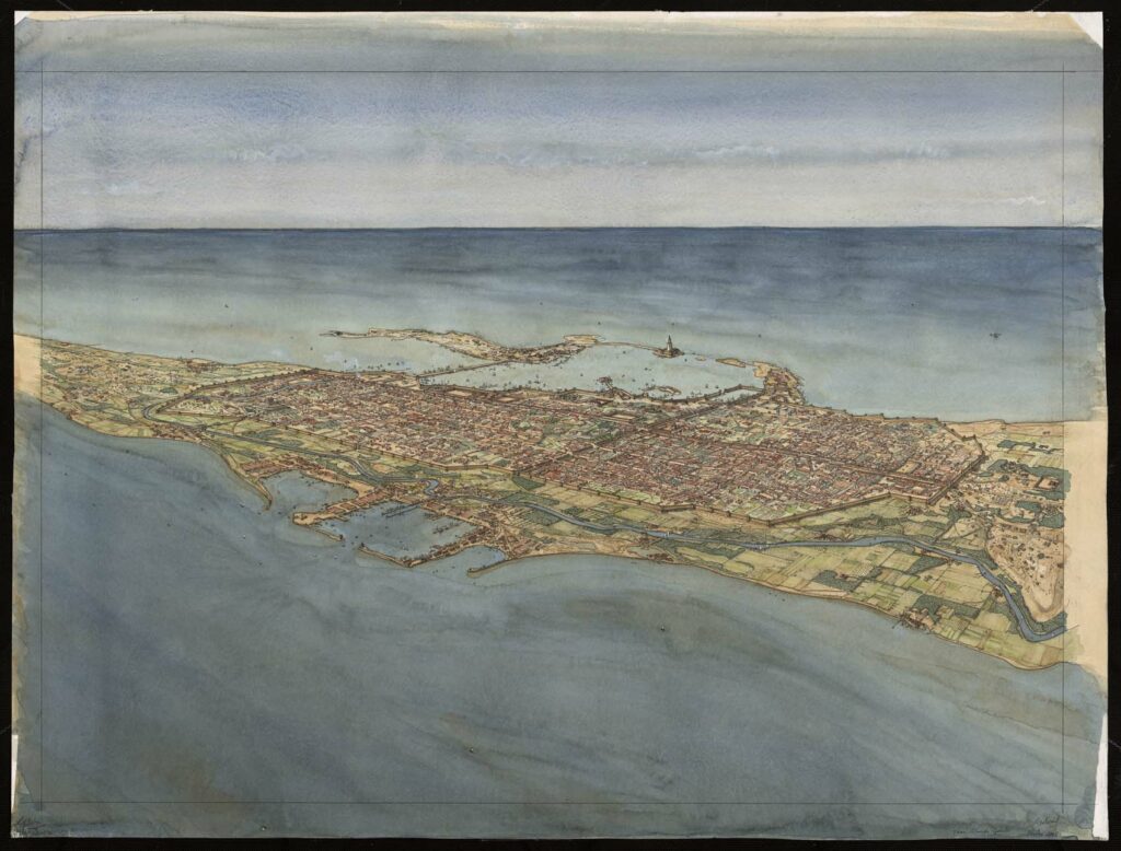
Aerial view of Alexandria (Alexandria) from Lake Mareotis. The drawing is in landscape format. It is organized within a frame drawn in ink. Traces of watercolor are visible in the margins. Inscriptions appear on the reverse.
The town is set between the Mediterranean Sea, visible in the upper part of the drawing, and the shores of Lake Mareotis, visible in the lower part. It is surrounded by an immense wall punctuated by semicircular towers. The entire length of the city is criss-crossed by the Canopic Way. The large port is dominated by the lighthouse, visible in the upper part of the drawing, set between the island of Pharos, on the left, and the royal buildings, on the right. A second port is located on the lake shore, in the lower part of the drawing. The Nile canal runs between the lake and the city wall.


